Training
Earth Engine
for forestry.
- Case studies
- 8
- Assignments
- 5
Planetary-scale geospatial analysis, worked end to end. Follow the case studies to see each technique applied, then complete the assignments to build them yourself.
Case studies
Worked examples.
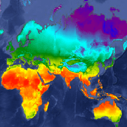
Global climate data (WorldClim)
Load and sample WorldClim bioclimatic variables over an area of interest.
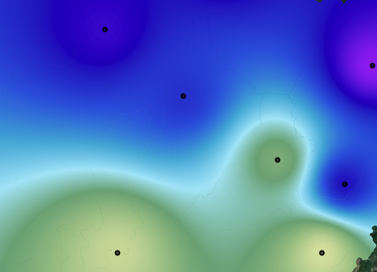
Weather interpolation
Interpolate point weather-station records into a continuous surface.
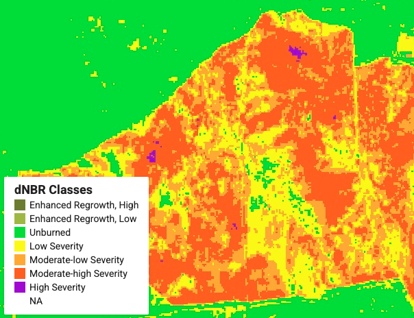
Burn severity mapping
Compute the Normalized Burn Ratio before and after fire to classify severity.
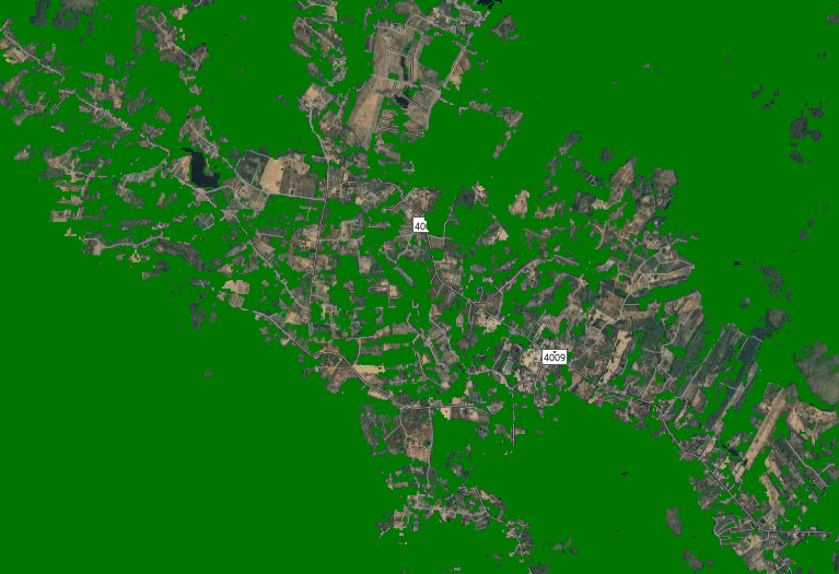
Forest area identification
Separate forest from non-forest using supervised classification.

Forest area monitoring
Track forest extent through time to detect gain, loss and degradation.
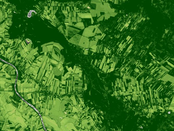
NDVI
Derive the Normalized Difference Vegetation Index from red and near-infrared bands.
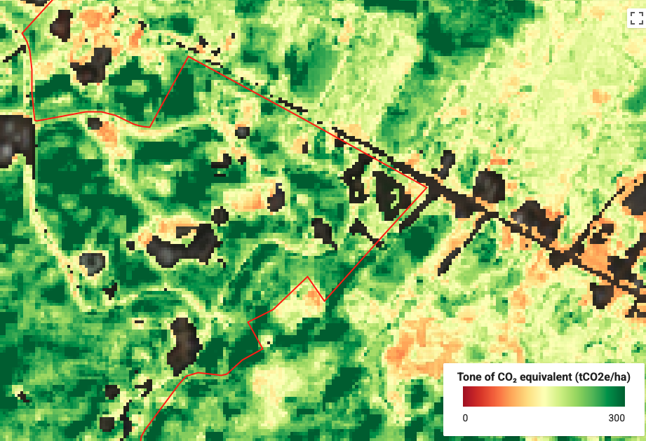
Above-ground biomass
Estimate AGB by relating field plot measurements to spectral predictors.
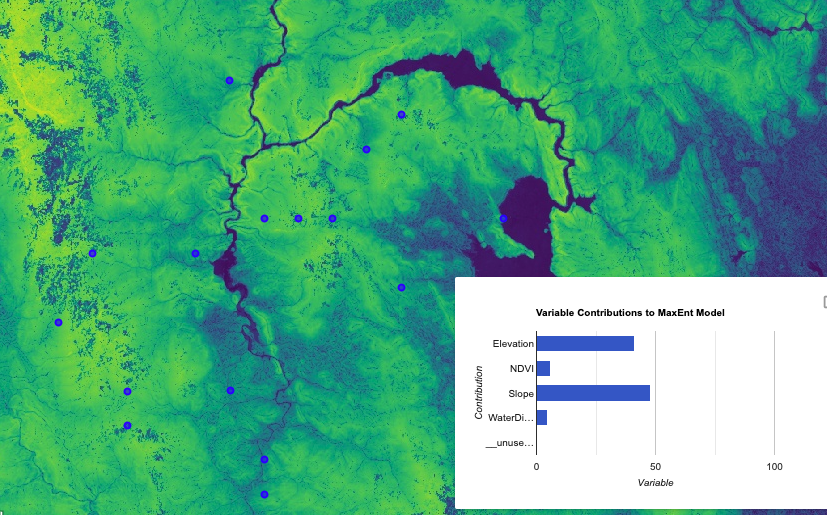
MaxEnt with pseudo-absence
Species distribution modelling using MaxEnt and generated pseudo-absence points.
Assignments
Now build it yourself.
Calculate NDVI for a specific region and time period.
→ 02 Land cover exportExport a classified land cover map as a GeoTIFF.
→ 03 Forest detection with Random ForestTrain and evaluate a Random Forest classifier for forest detection.
→ 04 Forest type classificationClassify forest types using multiple spectral and terrain predictors.
→ 05 Mini-project with generative AIDesign and deliver a small project assisted by GPT or Gemini.
→Testing