Data catalogue
Analysis-ready
Earth observation.
- Datasets
- 15
- Live viewers
- 9
- Earliest record
- 1960
Every dataset is served through an interactive Google Earth Engine viewer, pre-processed and clipped to the station network.
01 — Satellite archives
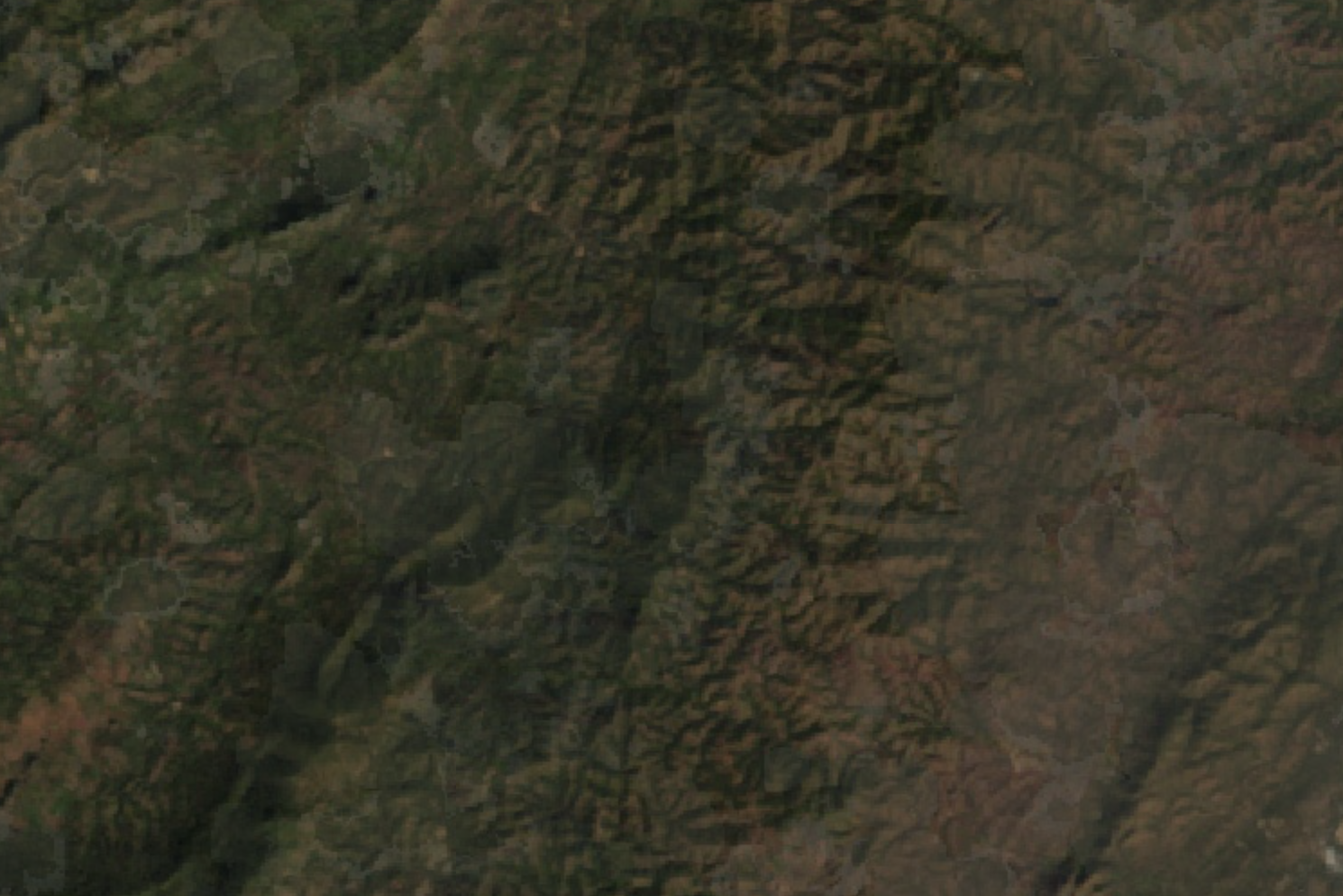
Landsat 4 spectral indices
Landsat 4 introduced the Thematic Mapper sensor, a significant advance in spatial and spectral resolution for Earth observation.
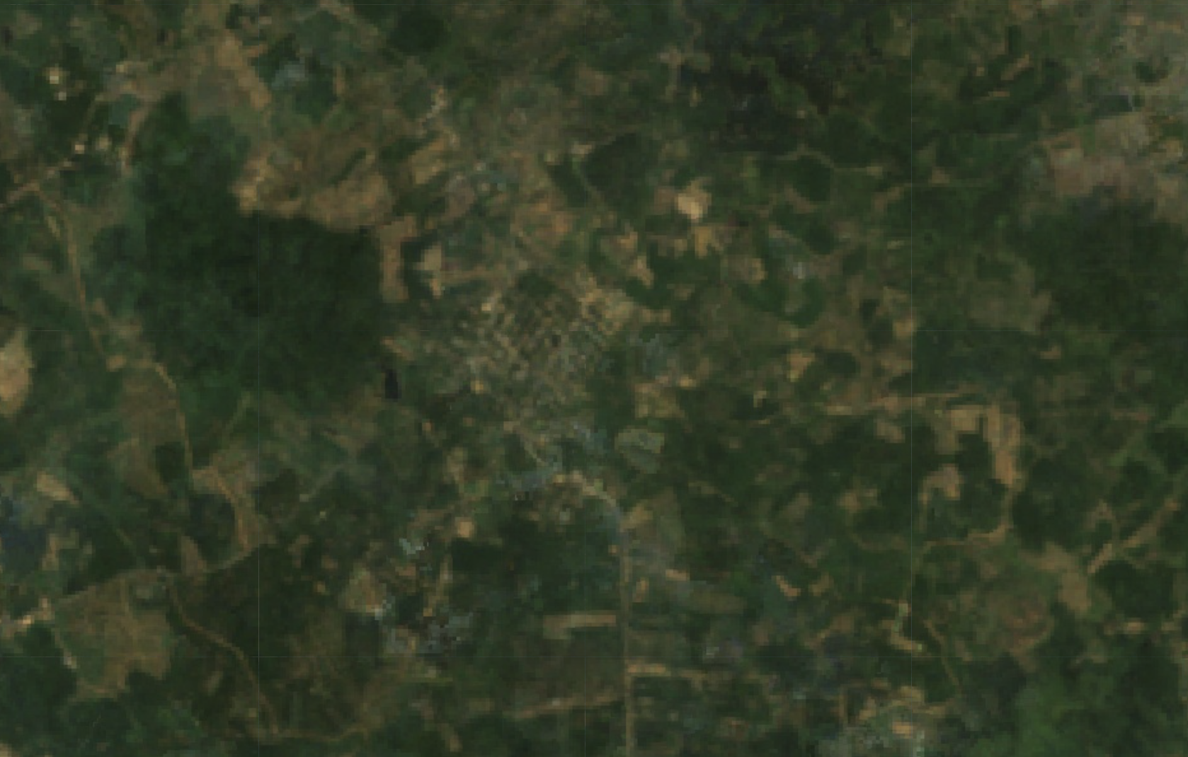
Landsat 5 spectral indices
A remarkably long-lived observer, providing a continuous record of the planet’s land surface for nearly three decades.

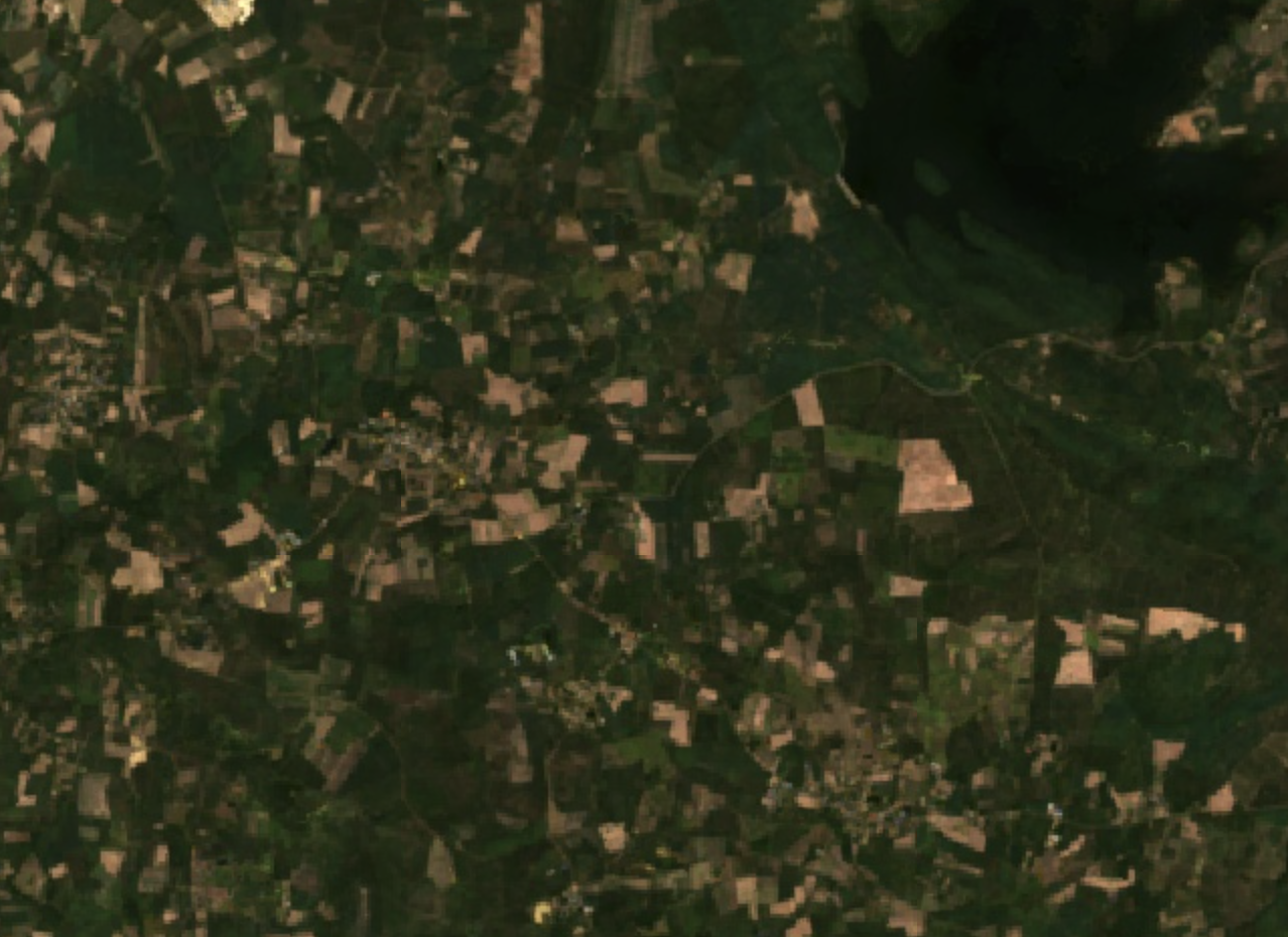
Landsat 8 spectral indices
Part of the joint NASA and USGS Landsat programme, carrying the OLI and TIRS instruments.
Landsat 9 spectral indices
Continues the unbroken Landsat record, keeping land management decisions grounded in the best available science.
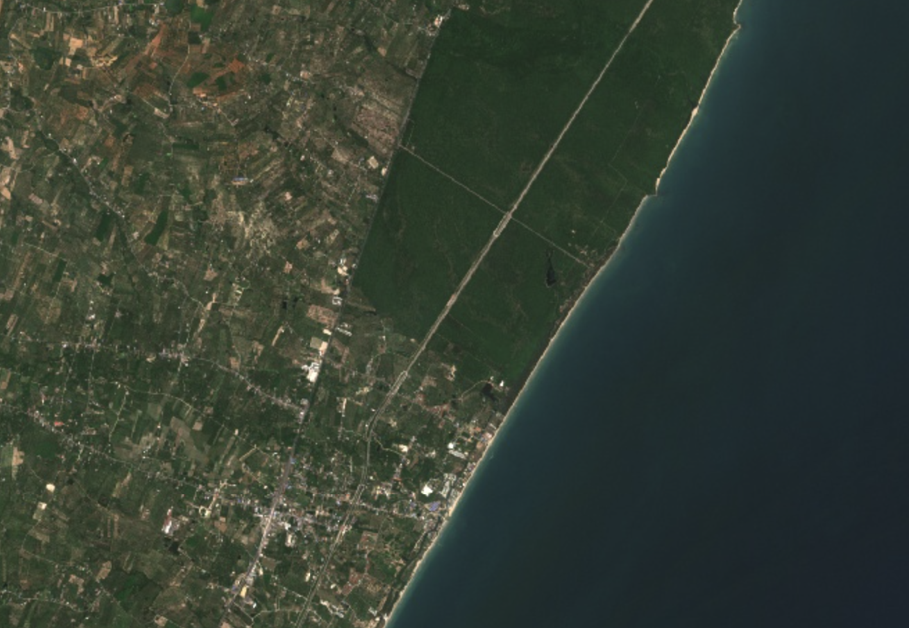
Sentinel‑2 spectral indices
An ESA Copernicus mission flying two identical satellites, giving the finest routine resolution in the catalogue.
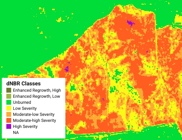
MODIS burned area
Global fire mapping and burn extent — essential for wildfire impact, emissions estimation and post-fire recovery.
02 — Forest structure & carbon
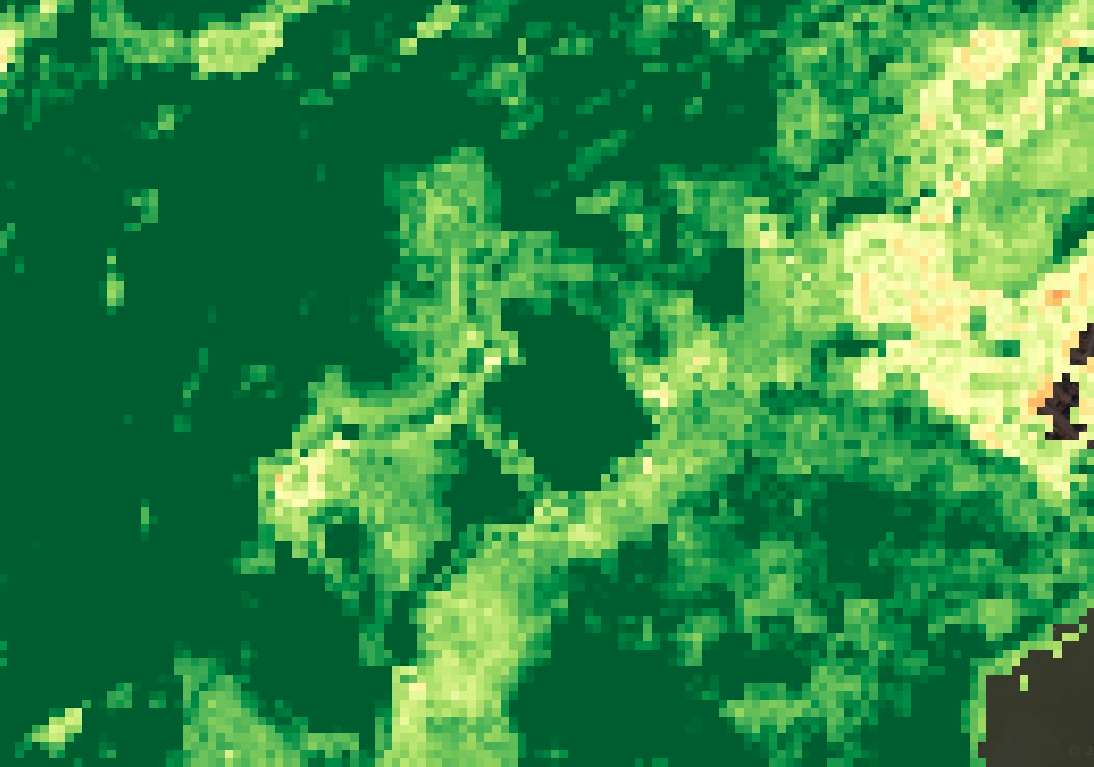
Tree canopy cover
The proportion of ground covered by the vertical projection of tree crowns — a core metric of forest structure and habitat quality.
Above-ground carbon
Carbon stock monitoring combining remote sensing with field measurement, for carbon accounting and climate mitigation.
Forest biomass estimation
Above and below-ground biomass from field plots, allometric equations and remote sensing.
Forest disturbance monitoring
Time-series analysis of deforestation, degradation and fire events supporting conservation and ecosystem health monitoring.
MODIS vegetation indices
Daily global vegetation indices at coarse resolution, ideal for large-scale vegetation dynamics and phenology.
03 — Climate & terrain
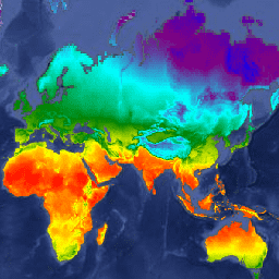
WorldClim BIO variables
Nineteen bioclimatic variables derived from monthly temperature and rainfall normals, widely used in species distribution modelling.
Digital elevation model
Terrain data including elevation, slope and aspect — critical for topographic influence on forest structure and hydrology.
Soil properties database
Texture, pH, organic matter and nutrient content — underpinning site quality and forest productivity assessment.
Precipitation & climate
Long-term meteorological records from station sensors and satellite products, for drought monitoring and water balance studies.