Faculty of Forestry · Kasetsart University
Long-term forest
monitoring across Thailand.
- Research stations
- 7
- Satellite record
- 1982–now
- Datasets
- 15
A field-based network supporting research in natural forests, plantations, biodiversity, carbon sequestration and climate adaptation — with long-term monitoring plots, experimental areas, and open access to satellite imagery, meteorological records and forest inventory data.
The network
Seven stations,
one continuous record.
Data catalogue
Analysis-ready Earth observation.
NDVI, NDWI and NBR composites derived from OLI/TIRS surface reflectance.
→ 02 Sentinel‑2 spectral indicesTen-metre composites from the ESA Copernicus twin-satellite constellation.
→ 03 Tree canopy coverProportion of ground under the vertical projection of tree crowns.
→ 04 Above-ground carbonCarbon stock monitoring from remote sensing and field measurement.
→ 05 WorldClim bioclimatic variablesNineteen variables derived from monthly temperature and rainfall normals.
→From the field

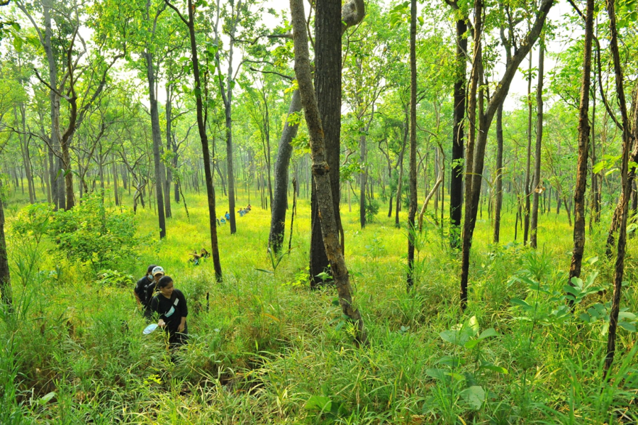
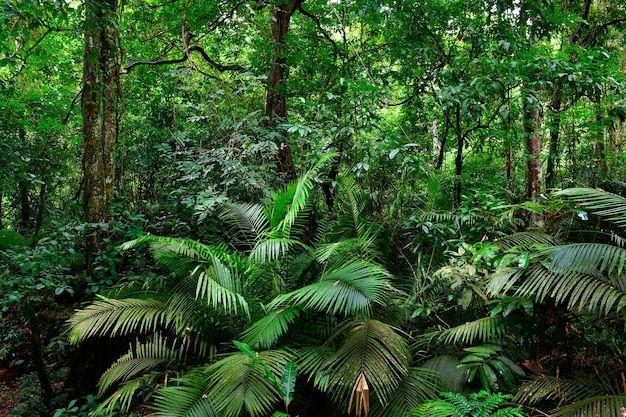
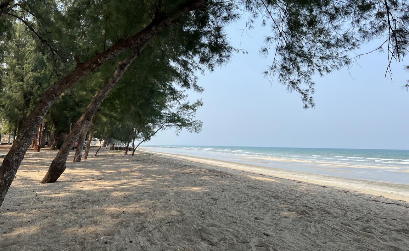
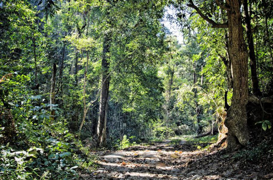
Recent highlights
News from the network.
AviList: a unified global checklist of the world’s birds
A new unified global bird checklist — the most authoritative and up-to-date taxonomy of the world’s birds — released by a global team of experts in taxonomy, nomenclature and bioinformatics.
Google Earth Engine case studies for forestry
Eight worked case studies covering burn severity, biomass estimation, forest detection and species distribution modelling with MaxEnt.
Landsat 4 through 9: four decades of continuity
The full Landsat archive is now indexed alongside Sentinel‑2, giving an unbroken record of Thailand’s forests from 1982 to the present.